
- This event has passed.
ONLINE COURSE – Advanced Ecological Niche Modelling (ENM/SDM) Using R (ANMR02) Deadline to register 28th August
11th September 2023 - 15th September 2023
£480.00
Event Date
Monday, September 11th, 2023
Course Format
This is a ‘LIVE COURSE’ – the instructor will be delivering lectures and coaching attendees through the accompanying computer practical’s via video link, a good internet connection is essential.
Time Zone
TIME ZONE – UTC – however all sessions will be recorded and made available allowing attendees from different time zones to follow.
Please email oliverhooker@prstatistics.com for full details or to discuss how we can accommodate you).
About This Course
Have you built an Ecological Niche Model? If yes, you have already encountered challenges on data preparation, or have struggled with issues in models fitting and accuracy. This course will teach you how to overcome these challenges and improve the accuracy of your ecological niche models. By the end of 5-day practical course, you will have the capacity to filter records and select your variables with variance inflation factor; to test effect of Maxent regularization parameter in models performance; to validate models performance and accuracy; to perform MESS analysis, null models, and mechanistic models, as well as to build your “virtual species”.
Ecological niche, species distribution, habitat distribution, or climatic envelope models are different names for mechanistic and correlative models, which are empirical or mathematical approaches to the ecological niche of a species. These methods relate different types of ecogeographical variables (environmental, topographical, human) to species physiological data or geographical locations, in order to identify the factors limiting and defining the species' niche. ENMs have become popular because of their efficiency in the design and implementation of conservation management.
By the end of 5-day practical course you will have the capacity to
- filter records and select your variables with variance inflation factor;
- test the effect of Maxent regularization parameter in models performance;
- validate models performance and accuracy;
- perform MESS analysis, null models, and mechanistic models, as well as to build your “virtual species”.
Students will learn to use functions implemented in the packages “usdm”; “dismo”; “ENMEval”; “SDMvspecies”; “spThin”; and “NicheMapper” among others.
Intended Audiences
This course is orientated to PhD and MSc students, as well as other students and researchers working on biogeography, spatial ecology, or related disciplines, with experience in ecological niche models.
Venue
Course Details
Duration – 5 days
Contact hours – Approx. 35 hours
ECT’s – Equal to 3ECT’s
Language – English
Teaching Format
The course will be mainly practical, with some theoretical lectures. All modelling processes and calculations will be performed with R, the free software environment for statistical computing and graphics (http://www.r-project.org/). Students will learn to use functions implemented in the packages “usdm”; “dismo”; “ENMEval”; “SDMvspecies”; “spThin”; and “NicheMapper” among others.
Assumed quantitative knowledge
A basic understanding of ecological niche models and biogeography in general is required, thus we will assume the attendees know how to run an ecological niche model.
Assumed computer background
Solid knowledge in Geographical Information Systems and R statistical package is necessary. It is also essential to have experience in ecological niche models. We will focus exclusively on advanced methods. If you need an introductory course on ecological niche models, please consider attending our basic course on PRStatistics (www.prstats.org).
Equipment and software requirements
A laptop computer with a working version of R or RStudio is required. R and RStudio are both available as free and open source software for PCs, Macs, and Linux computers. R may be downloaded by following the links here https://www.r-project.org/. RStudio may be downloaded by following the links here: https://www.rstudio.com/.
All the R packages that we will use in this course will be possible to download and install during the workshop itself as and when they are needed, and a full list of required packages will be made available to all attendees prior to the course.
A working webcam is desirable for enhanced interactivity during the live sessions, we encourage attendees to keep their cameras on during live zoom sessions.
Although not strictly required, using a large monitor or preferably even a second monitor will improve he learning experience
Cancellations are accepted up to 28 days before the course start date subject to a 25% cancellation fee. Cancellations later than this may be considered, contact oliverhooker@prstatistics.com. Failure to attend will result in the full cost of the course being charged. In the unfortunate event that a course is cancelled due to unforeseen circumstances a full refund of the course fees will be credited.
If you are unsure about course suitability, please get in touch by email to find out more oliverhooker@prstatistics.com
COURSE PROGRAMME
Monday 11th
Day One:
- ENM guide: how to model
- ENM R packages.
- Sources of environmental variables using geodata package.
- Getting species records with geodata package.
Tuesday 12th
Classes from 09:30 to 17:30
Day Two:
- Variable selection with variance inflation factor (VIF) and usdm packages.
- Choosing the correct study area.
- Filtering records using usdm/spThin packages.
- Choosing pseudo-absences with Biomod2 package.
Wednesday 13th
Classes from 09:30 to 17:30
Day Three:
- Split records in training and test with ENMeval package.
- Test effect of Maxent regularization parameter.<.li>
- Comparing correlative models with AIC, with ENMeval package.
Thursday 14th
Classes from 09:30 to 17:30
Day Four:
MESS practice with Biomod2 package.
Validate models null models.
VirtualSpecies virtualspecies packages.
Friday 15th
Classes from 09:30 to 17:30
Day Five:
- Mechanistic model NicheMapper packages.
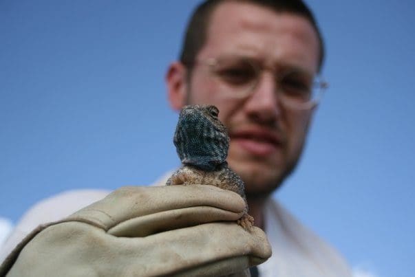
Dr. Neftali Sillero
Neftalí Sillero works in the analysis and identification of biodiversity spatial patterns, from species to populations and individuals. For this, he uses four powerful tools to better understand how space influence biodiversity: Geographical Information Systems, Remote Sensing, Ecological Niche Modelling, and Spatial Statistics. His main areas of research are: application of new technologies on species’ distributions atlases, ecological modelling of species’ ranges, identification of biogeographical regions and species’ chorotypes, mapping and modelling road-kill hotspots, and spatial analyses of home ranges.
He has more than 10 years’ experience working in ecological niche models. He has authored >70 peer reviewed publications and he is since 2007 Chairman of the Mapping Committee of the Societas Herpetologica Europaea, where he is the PI of the NA2RE project (www.na2re.ismai.pt), the New Atlas of Amphibians and Reptiles of Europe
Teaches
- Ecological Niche Modelling Using R (ENMR)
- Advanced Ecological Niche Modelling Using R (ANMR)
- GIS And Remote Sensing Analyses With R (GARM)
Teaches
- Ecological Niche Modelling Using R (ENMR)
- Advanced Ecological Niche Modelling Using R (ANMR)
- GIS And Remote Sensing Analyses With R (GARM)
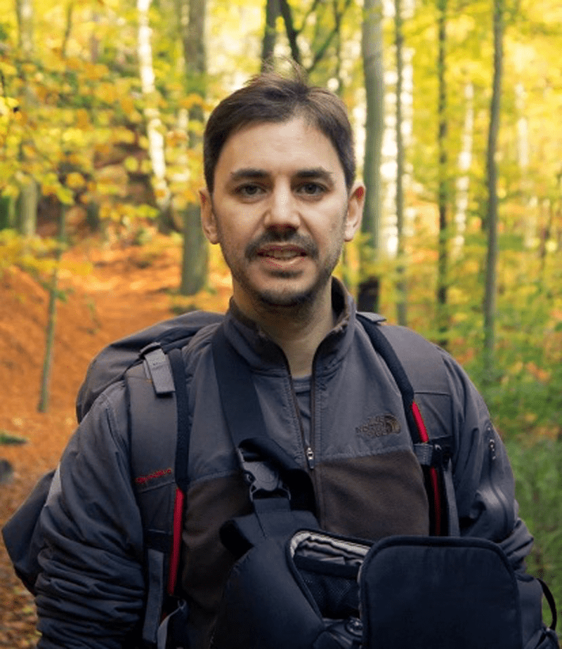
Dr. Salvador Arenas-Castro
Dr. Salvador Arenas-Castro is a broad-spectrum ecologist with interesting in different
integrative perspective of the fundamental ecology, macroecology and biogeography
with their both application and relationship to climate and land management. He is also
exploring other research sources in agroecology, forestry, spatial ecology, and
ecoinformatics, all addressed by explicitly considering the spatial component of
ecological processes, mainly applying spatially explicit modelling approaches, GIS and
remote sensing techniques. Please check his webpage for further information:
https://salvadorarenascastro.wordpress.com
Google Scholar: https://scholar.google.com/citations?user=UAYiB5UAAAAJ&hl=es&oi=ao
ResearchGate: https://www.researchgate.net/profile/Salvador-Arenas-Castro